
If you love data, this page is for you!
Come take a look at various maps, collected transportation data, interactive map services and more.
Maps
MPO Urban Boundary and Functional Classification Maps
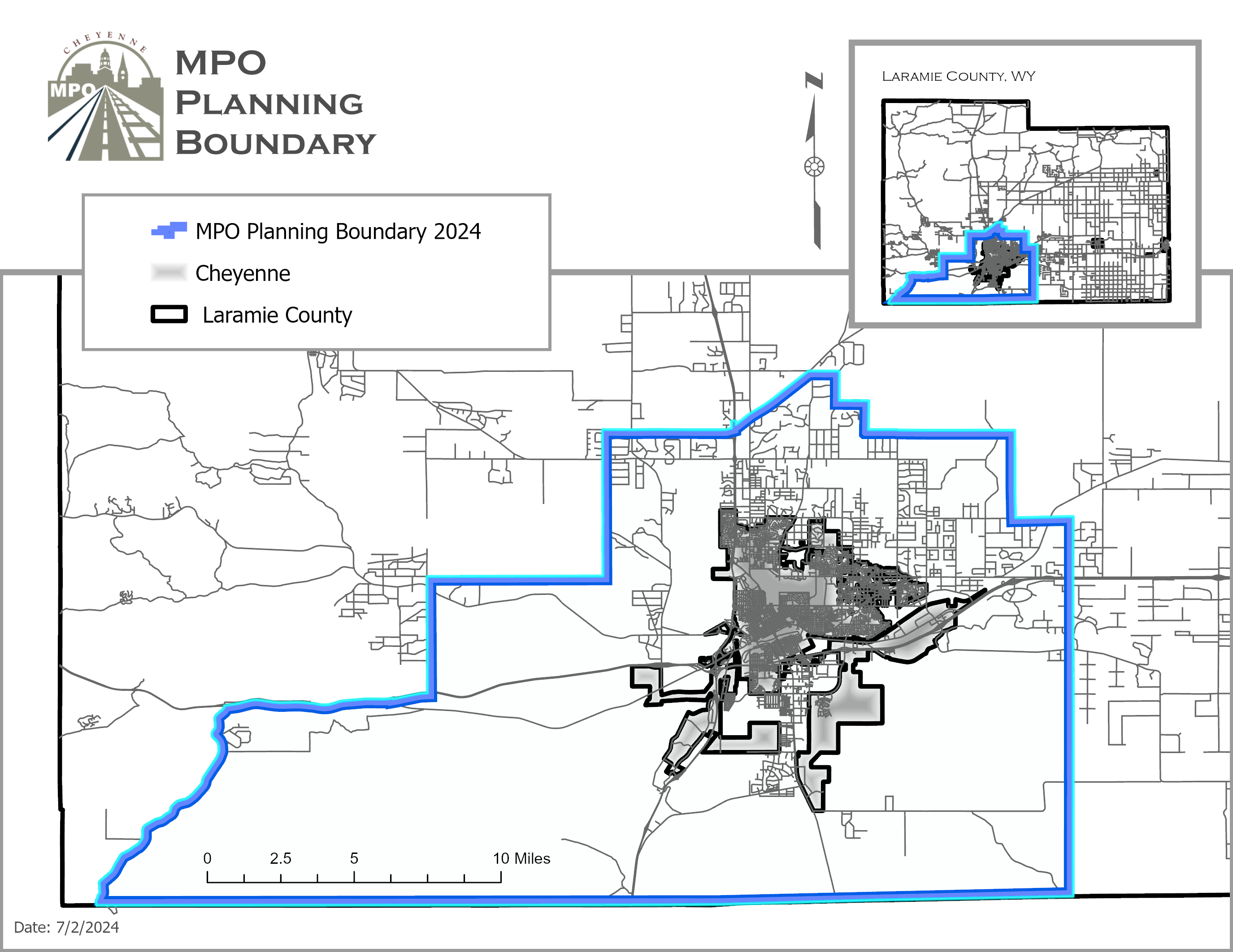
Cheyenne Urban Boundary and Functional Classification Map 2021 (PDF)
Connect 2050 Map
Data
Crash Report
This interactive online map shows records for each reported traffic crash in the area. The crash record provides information on the date, time, collision type, vehicle type, driver demographics, and contributing factors for each crash. The data originates from WYDOT Highway Safety Office.
Traffic Analysis Zones Interactive Map
A traffic analysis zone (TAZ) is a special area delineated by transportation planners for tabulating traffic-related data–especially journey-to-work and place-of-work statistics. A TAZ usually consists of one or more census blocks, block groups, or census tracts.
Cheyenne Traffic Counts
View multiple year traffic counts from a variety of points in the Cheyenne region.
Cheyenne Urban Area Snow and Ice Control Guide
A story map for you when it snows! This interactive guide includes all the information you need when we get a bunch of snow, including important phone numbers, the "Notice to Remove Ice and Snow from Sidewalks," and tips for what to do in the case of a snow event.